
Chilly Weekend Brought a Chance of Thundersnow

Monday, April 20 2015
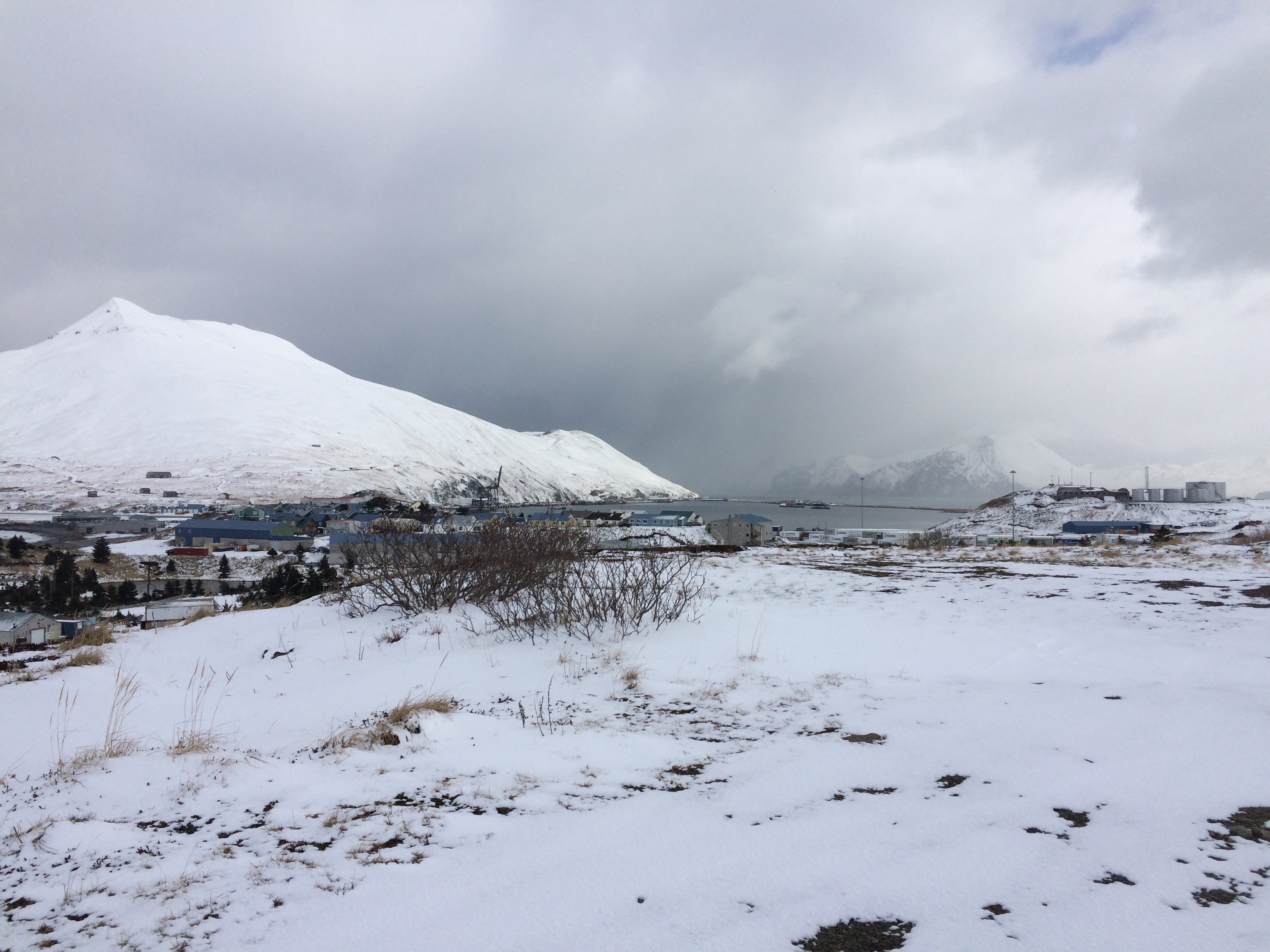
Vertical storm clouds stacked up quickly over the Eastern Aleutians this weekend. (Lauren Rosenthal/KUCB)
This weekend brought a wintry blast of hail and rain to the Aleutian Islands -- and the potential for a unique kind of storm.
Thundering snow is the result of cold temperatures hitting energetic weather systems, like the ones that churned past Unalaska on Sunday.
"We have that well-developed area of low-pressure over the Bering Sea into Bristol Bay," says Michael Kutz, a meteorologist with the National Weather Service.
"Occasionally, as the features spin around, it generates a kind of pinwheel where you get a wave of activity that’s a little bit more excitable," Kutz says. "Really kind of mixes up the environment and makes things pop."
Those conditions are a lot harder to come by than the ones that cause storms in the Lower 48 and Alaska’s Interior. Areas of damp, warm air will build up near colder, drier pockets. They become unstable and eventually crack -- giving way to thunder and lightning.
Those are both pretty rare in the Aleutians. But Kutz says they may not stick out if there’s snow in the mix.
"Thundering snow is not the loud crack or rolling rumble that you hear with normal thunderstorms," Kutz says. "In fact, a lot of people would mistake it for somebody moving something in another room. You just get a ‘woomph’ and a dull flash if it does occur."
The National Weather Service doesn’t have any storm sensors nearby that could provide confirmation. Kutz says the last reports of thunder in the region came from Cold Bay in 2010.

