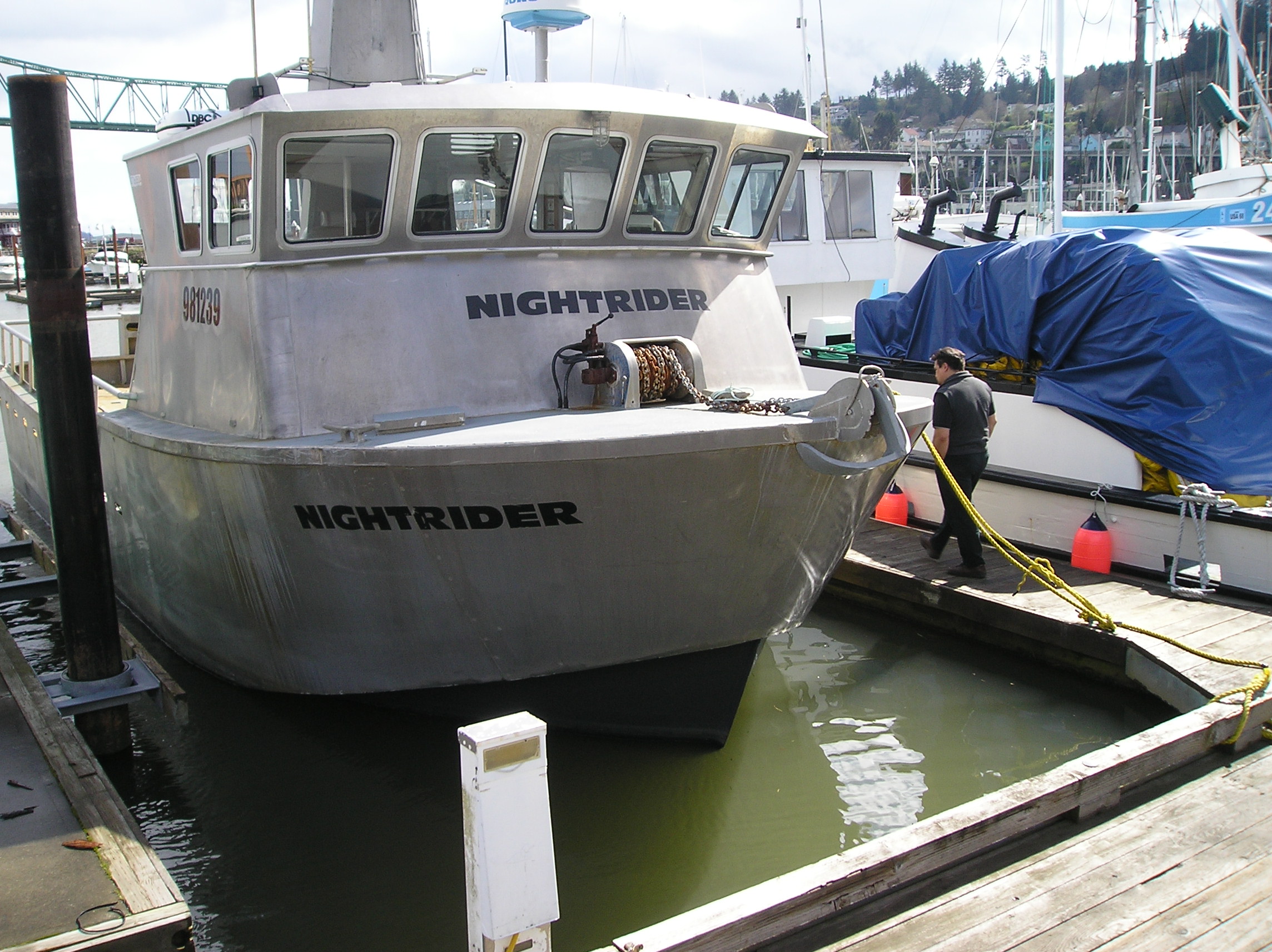
Rendering of house slated to be built in Sand Point. Courtesy of Aleutian Housing Authority.
Last year, the Aleutian Housing Authority challenged architects to design an affordable, net-zero energy home that could withstand the region’s hostile climate while adhering to the world’s strictest green building standards.
Not an easy task, but more than one hundred teams entered the contest. Trying to build the winning design though proved just how formidable a challenge AHA had posed.
The tiny Aleutian village of False Pass is about to become a lab for cutting-edge renewable energy. If the experiment works, False Pass will the first town in the country to be powered by ocean currents.
The impetus for the project came a few years ago, when a handful of community leaders from all across the Bering Sea met up to talk energy. The top priority – to get away from expensive diesel, once and for all.
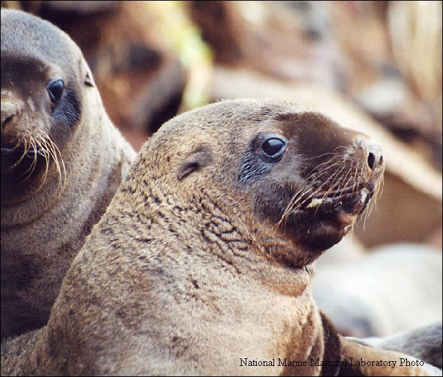
An independent panel tasked with evaluating the scientific merits of a federal assessment of the endangered Western population of Steller sea lion has released its finding. The general consensus: the government’s science doesn’t pass muster.
The Center for Independent Experts is an official body of the National Oceanic and Atmospheric Administration. The panel was convened to peer review the controversial assessment, which attributed the decline of Steller sea lions in the western Aleutians to resource competition with fisheries. In 2011, the National Marine Fisheries Service shut down the Atka mackerel and Pacific cod fisheries in the region based on that analysis. In response, the state of Alaska and industry groups sued NMFS, alleging the government’s findings were little more than conjecture. The independent panel’s review seems to support that assessment.
The blanket of sea ice atop the Arctic is at its smallest size in recorded history. The 2007 record was broken on Sunday when satellites determined that the ice extent was at 1.58 million square miles. While that may sound like a lot, it’s about a million square miles less than the average minimum cover in the 1980s and 1990s.
The immediate cause for the break-up was a large storm and the strong waves it created. But scientists say that a single weather event couldn’t have triggered such a major decline in sea ice without warmer climate conditions in the region.
The first comprehensive survey of the Chukchi Sea ecosystem got underway last week. Scientists will spend the next month collecting samples and cataloguing life in the northern waters.
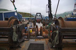
The 143-foot Alaska Knight is normally a commercial trawler, but for this month, it’s moonlighting as a scientific research vessel - with all of the accompanying baggage.
“There’s coolers upon coolers upon coolers and buckets upon buckets upon buckets all over this boat at the moment," says Lyle Britt, a federal fisheries biologist.
A large earthquake hit near Nikolski around 10:30 Friday morning.
“Nikolski is located about 75 miles from the epicenter and I would expect that at this distance a 6.2 would be felt by most people," says Alaska Earthquake Information Center seismologist Natasha Ruppert. "But when we called and asked people, nobody actually felt it.”
Ruppert says she hasn’t had time to do any analysis, but her suspicion is that the earthquake, although powerful, moved very slowly – too slowly for human perception.
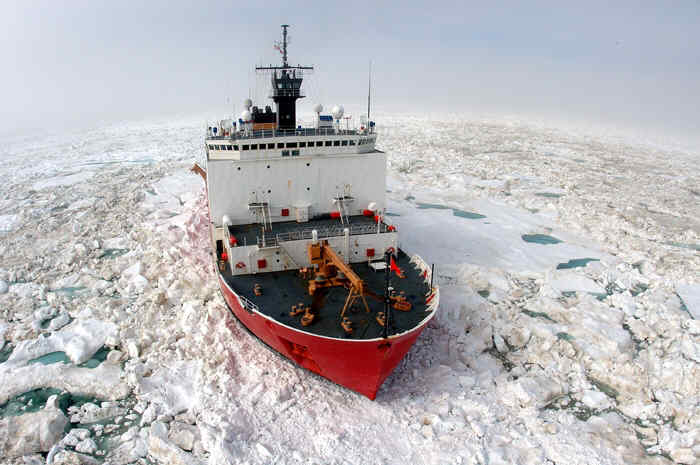
A group of scientists aboard the Coast Guard icebreaker Healy are heading to the Arctic to study an important ecosystem downstream of drill sites in the Chukchi Sea.
Hanna Shoal is a shallow, 30-mile long shelf off the coast of northwest Alaska. It’s one of the Chukchi Sea’s most biologically productive spots and an important feeding area for walrus and bowhead whales. It’s also just downstream of a number of oil and gas leases – including one of Shell’s exploratory drill sites.
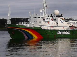
Greenpeace’s research vessel Esperanza pulled back into Unalaska this weekend. According to spokesman Joe Smyth, they’re here to resupply and switch out crew members.
Greenpeace staged a small protest in front of Shell’s Noble Discoverer drill ship yesterday and posted the photos to their Flickr feed. According to a federal injunction, Greenpeace can’t get within a kilometer of Shell’s drill ships or 500 meters of Shell’s other support vessels. The Coast Guard says they’ve had no reports of the group violating that order.
A mapping tool that could help emergency response in the Arctic launched last week.
The Environmental Response Management Application or ERMA is an interactive map, with data layers that can be switched on and off. The various layers have information like offshore lease areas, sea ice extent and critical animal habitats. With all that information consolidated on a single map, the hope is that responders can act more efficiently and effectively in the event of an oil spill or maritime disaster.